Below are some basic instructions to ensure that you capture the drone footage correctly. Your own experience and knowledge of drone photography will also assist you.
PLEASE NOTE: Only photos will work in the engine, so please do not capture video.
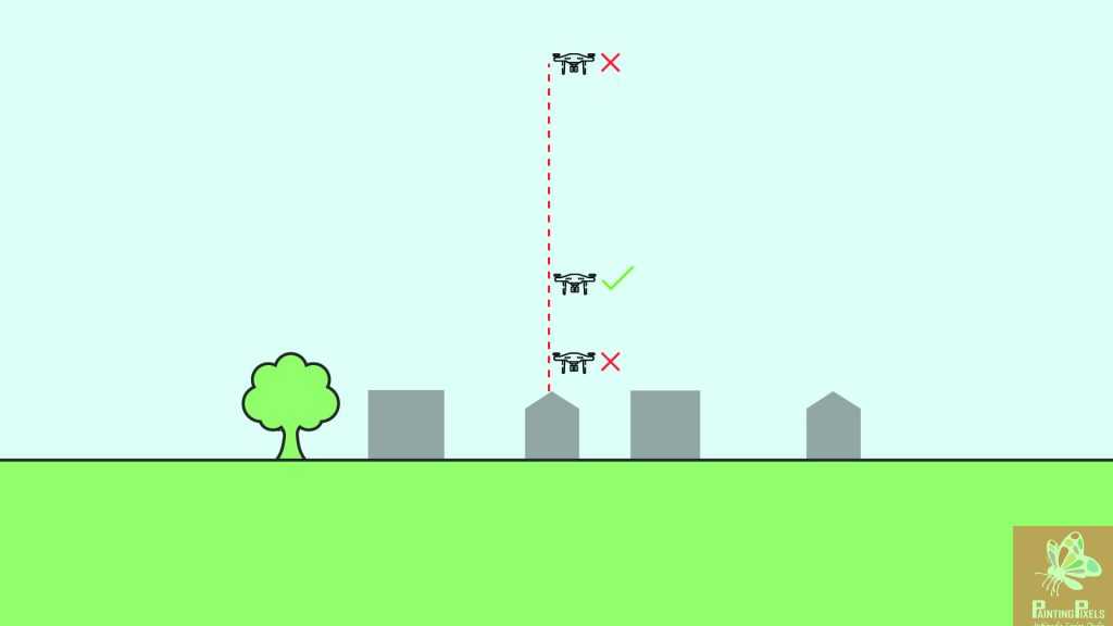
- Ensure you have the correct altitude so your drone is low enough to capture the site with clear detail.
- But not too close; as this will result in too many photos and extend our processing time.
- And same goes for being too high and not capturing enough detail on the finer site assets.
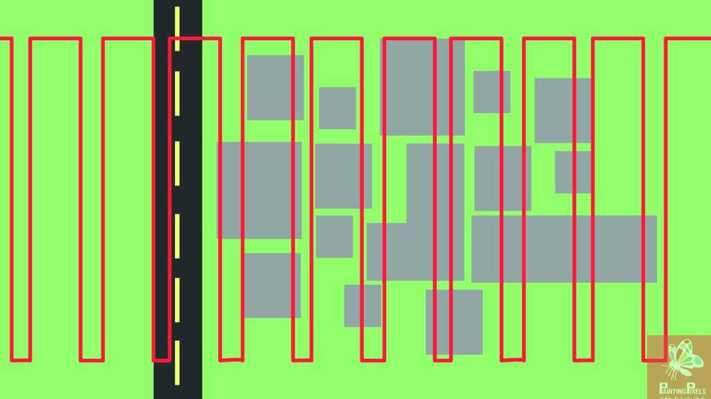
Your path must be straight. If your drone auto generates the path that is ok as long as there is full coverage of the site.
All images must have sufficient overlap.
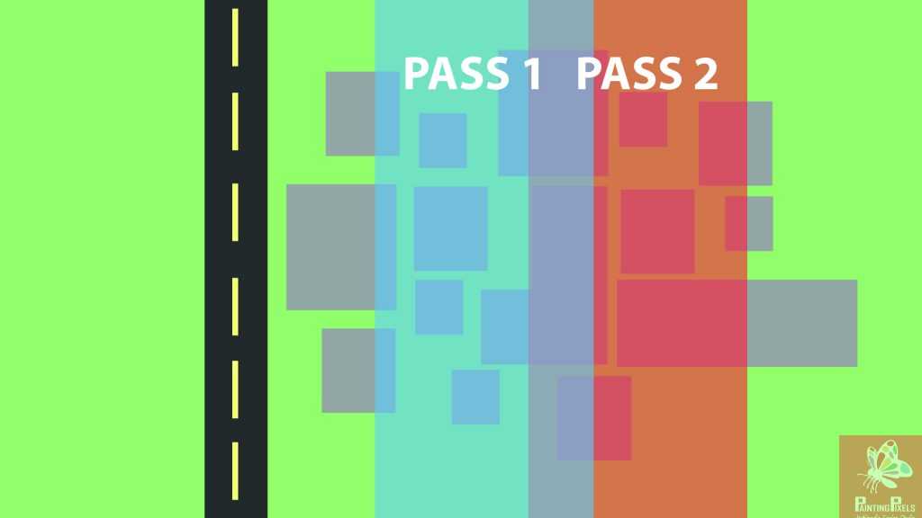
Site Capture
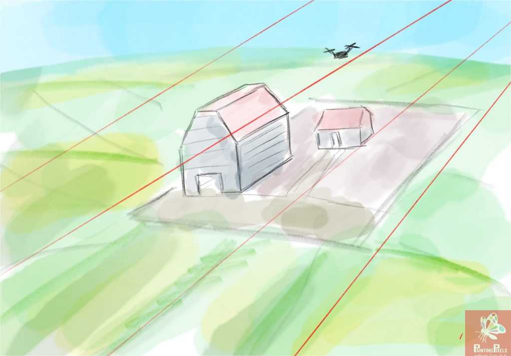
If your site is mainly wide open fields and farmland with a small selection of buildings that are no more than 2 storeys tall and wildly spaced apart; then using a straight flyover will provide sufficient, usable images.
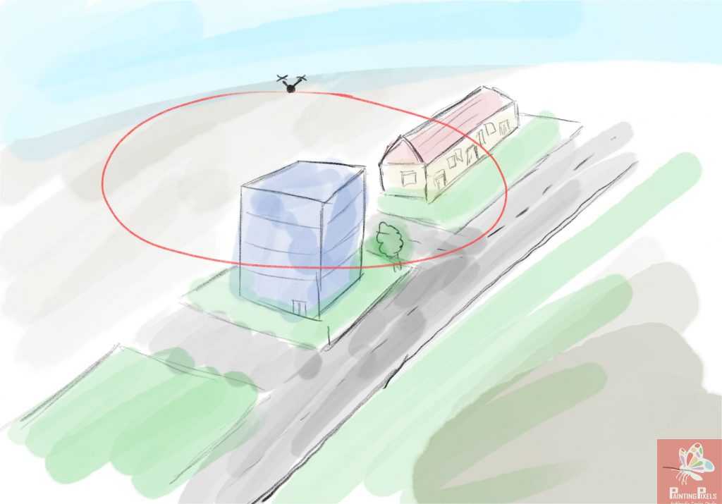
If your shooting a site with a single subject, which is multiple storeys and there is space for an orbital flight; then this is recommend as the sides of the building will receive better coverage and so output a higher quality render.
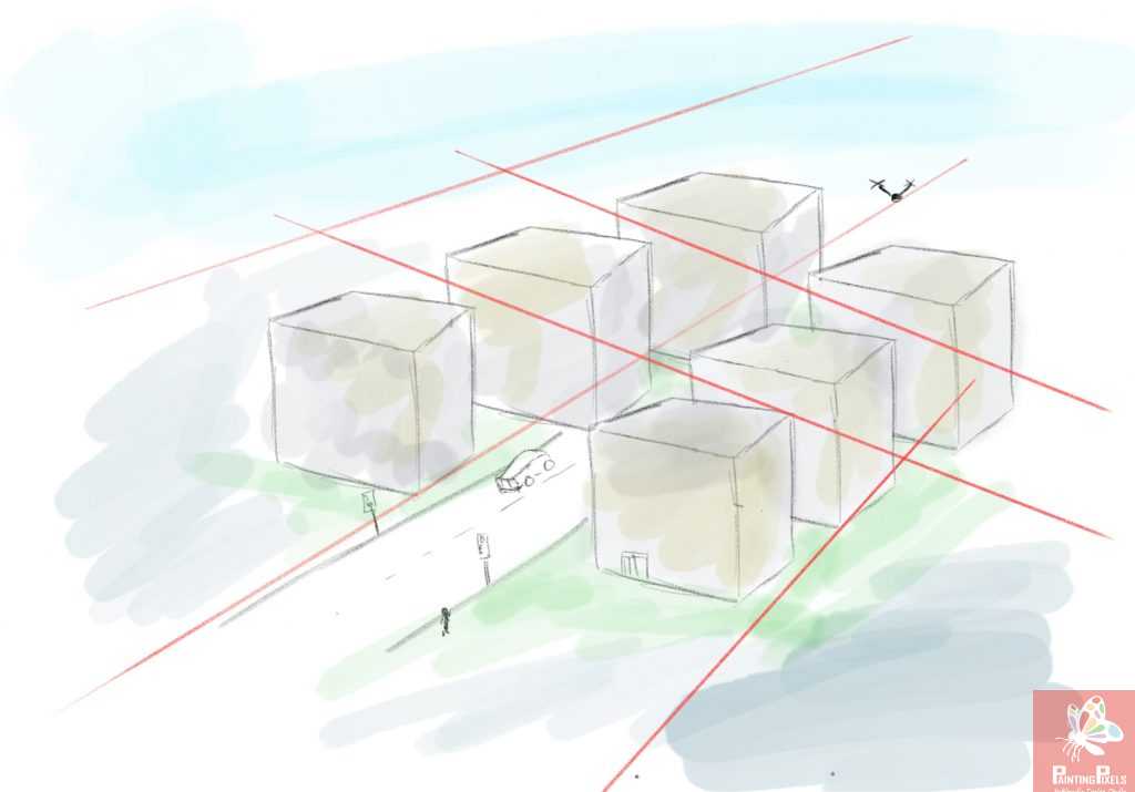
If your site consists of multiple, multi storey buildings in a dense urban area; then we recommend capturing the canyon areas with more care.
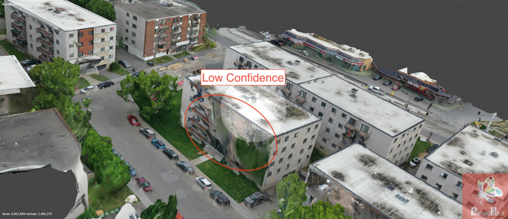
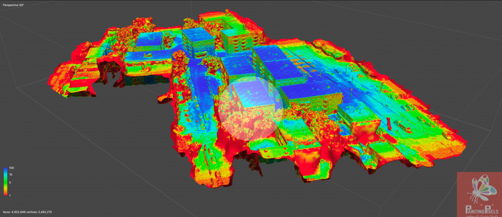
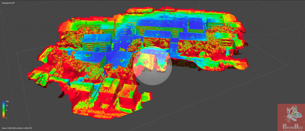
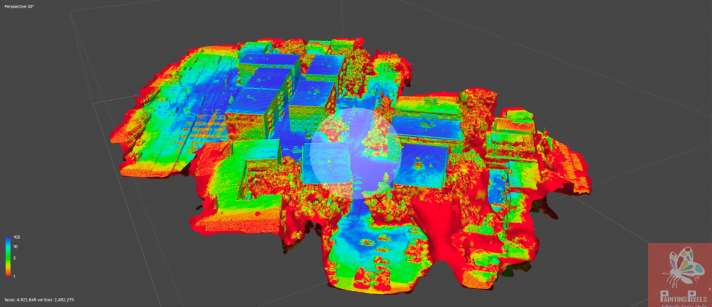
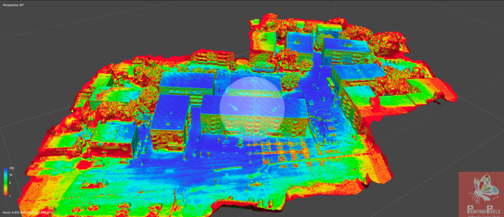
See the confidence maps below where a dense urban site was capture with a passover. The final output was good but the sides of the builds lacked some detail.
Confidence Maps
Blue areas have the highest level of confidence and so are highly accurate in detail including modelling and texture; whereas the red areas lack confidence as the drone capture in these areas wasn’t sufficient.
